Park Status Dashboard

Environmental View

Geospatial Mapping

Recommendations

Discovery Interface
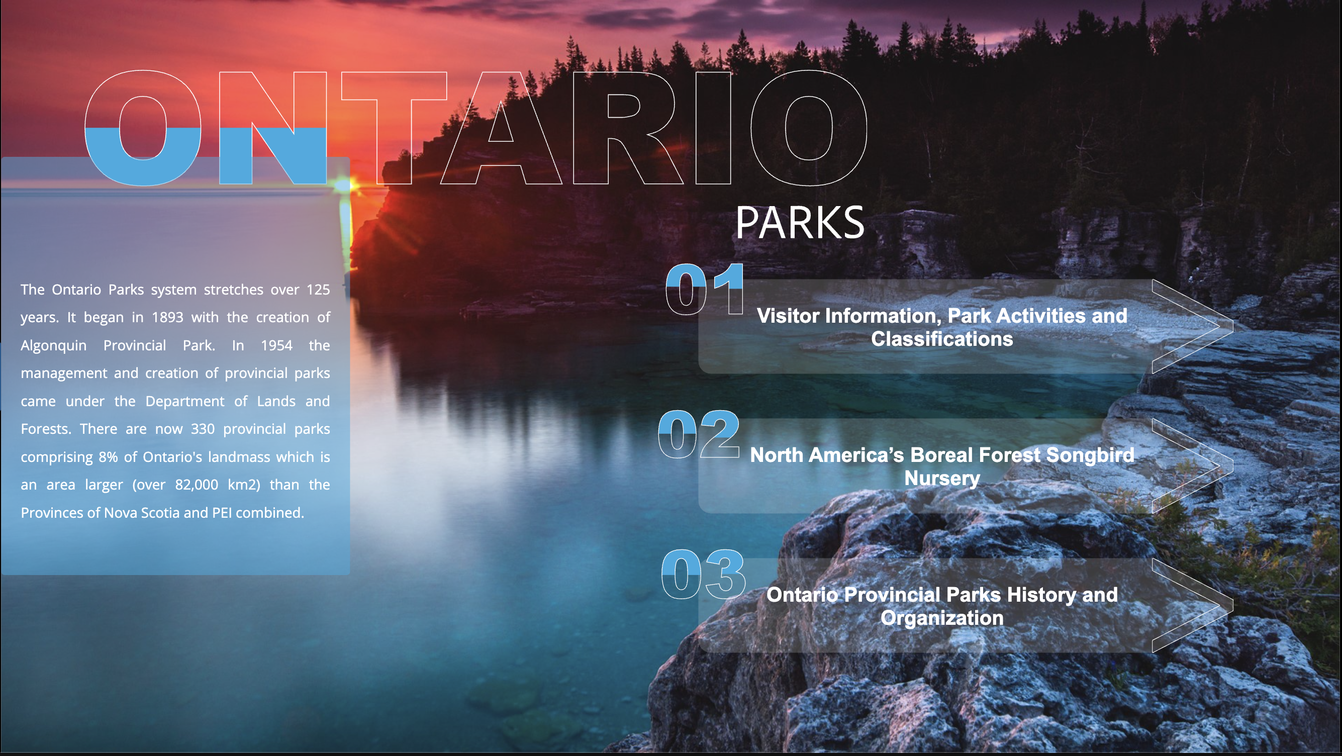
01 — Overview
0
% Planning Efficiency
0
% Data Engagement
0
% Rating Lift
A parks discovery platform combining geospatial data, user-generated content, and environmental monitoring to create personalized outdoor adventure experiences.
The app integrates weather, trail conditions, wildlife sightings, and visitor patterns to help users plan with confidence across Ontario's 330+ parks.
The experience focuses on smart discovery, live conditions, and route planning so users can move from curiosity to trip planning with less friction.
→ Prototype walkthrough showing the Ontario Parks discovery experience in motion
02 — Process
01
Bring together park status, environmental conditions, and user behavior into one readable system.
02
Create visual layers that help users understand maps, weather, and availability quickly.
03
Design discovery, trail routing, live monitoring, and community surfaces as one connected journey.
04
Turn the information architecture into an app-like flow that supports trip planning and confidence.
The best part was how quickly the data started to feel usable instead of overwhelming. — Ontario Parks Prototype Review
03 — What Was Built
A mobile-first concept for exploring parks through map layers, filters, and real-time signals.
Environmental conditions, weather, and facility availability were translated into readable visual dashboards.
Trail planning and route support helped move users from browsing into actual visit planning.
Personalized suggestions matched parks to interests, activity types, and current conditions.
Reviews, social reporting, and trip notes added a layer of trust to the planning experience.
The concept was packaged as an app walkthrough and linked prototype for presentation and review.
— Visual Showcase

04 — Results